
Keyword
Coastal Waters (Australia) | Tasmania Coast West, TAS
199 record(s)
Type of resources
Topics
Keywords
Contact for the resource
Provided by
Formats
Update frequencies
Status
draft
-
This record describes multibeam echosounder data collected on Bluefin voyage BF2018_V01, 'Hydrographic survey of the Petuna Aquaculture Sites in SW Bass Strait' which departed Stanley, Tasmania on the 27th June 2018 and returned to Beauty Point, Tasmania on the 4th July 2018. This survey was a part of a broader mapping campaign that involved a survey of the Boags Commonwealth Marine Reserve. The Kongsberg EM2040c multibeam echosounder was used to acquire seafloor bathymetry and backscatter information and watercolumn backscatter at the Boags Marine Reserve in the Bass Strait. The EM2040c provides a 1.3° by 1.3° transmit and receive angular resolution respectively. The echosounder's nominal frequency was 300 kHz and was operated in dual swath mode. Data are stored in *.all raw format for bathymetry and backscatter and *.wcd format for watercolumn backscatter at CSIRO. There are 269 files totalling 73.6 GB of raw .all data, and 269 files totalling 0.64Tb of raw .wcd in this combined campaign dataset. Sound velocity profiles were applied to this data during data acquisition. Bathymetry data contained in *.all format are corrected for motion and position. Tide corrections were not applied to the final processed dataset. Instead the data was mapped to the ellipsoid (GPS Height) and thereafter reduced to AHD (Australian Height Datum) using the AusGeoid09 model. Processed data has had outliers removed. Processed line data are available in *.gsf and ascii format, and processed bathymetry and backscatter grids in geotiff format. Additional information regarding this dataset, including further information on processing streams, is contained in the GSM data acquisition and processing reports. Additional data products may be available on request.
-
The CSIRO archive of Cape Grim Baseline Air Pollution Station - Hourly Atmospheric Radon (Rn222) concentration datasets. The Cape Grim Baseline Air Pollution Station facility, located at the North/West tip of Tasmania (40° 41'S, 144° 41'E), is funded and managed by the Australian Bureau of Meteorology, with the scientific program being jointly supervised with CSIRO Marine and Atmospheric Research. The role of the station has been to observe global air quality through the measurements of atmospheric pollution such as carbon dioxide, ozone, halocarbons, oxides of nitrogen, particulates, precipitation chemistry as well as to monitor other parameters such as solar radiation and meteorological variables. This archive contains measurements of atmospheric concentrations of the colorless, naturally occurring, radioactive noble gas Radon (Rn222), that is formed from the decay of radium gas as part of the Australian Nuclear Science and Technology Organisation's (ANSTO) Cape Grim Radon Program. Containing measured atmospheric Radon concentrations for the period from Dec 1986 until Dec 2004. Variable data is available as both an hourly averaged annual file or as a single (all years concatenated) file in Asci (.dat) format with Australian Eastern Standard Time (AEST) time and date formats within each file (Concentrations in calibrated one hour long counts).
-
The Cape Grim Baseline Air Pollution Station facility, located at the North/West tip of Tasmania (40° 41'S, 144° 41'E), is funded and managed by the Australian Bureau of Meteorology, with the scientific program being jointly supervised with CSIRO Marine and Atmospheric Research. This archive contains 1000 litre air samples contained in stainless steel flasks collected at approximately 3 monthly intervals since 1978. The archive is housed at the Aspendale laboratory of CSIRO Marine and Atmospheric Research. The Cape Grim air archive is invaluable in determining the past atmospheric composition of a wide range of gases. For some of these gases, accurate and precise analytical methods have only recently evolved (for example HFCs and PFCs). The measurements are state-of-the-art in precision and accuracy. They are used to identify trace gas trends in the Southern Hemisphere, which in turn can be used to drive climate change models and identify processes that influence changes to the atmosphere.
-
38kHz Simrad ES60 acoustic data collected during commercial fishing of spawning blue grenadier off the Tasmanian coast in 2005. FV Peterson was one of three factory freezer vessels collection acoustic and biological data as part of the FRDC project. Acoustic data is held by the CSIRO Marine Science Acoustic Group (Hobart). Additional data: gps embedded in ES60 .raw files, Wildlife computers MK9 temperature/depth loggers attached to headline of trawl net, AMFA (Australian Fisheries Mangement Authority) observer biological data (species, length, weight, sex, stage)(contact AFMA Observer section), AFMA trawl shot log - filled in by ships officers for each trawl shot, showing catch, location etc (contact AFMA Observer section). Complementary data sets as per above collected by vessels FV Ocean Dawn and FV Aoraki during the 2005 season.
-
38kHz Simrad ES60 acoustic data collected during commercial fishing of spawning blue grenadier off the Tasmanian west coast in 2002. FV Ocean Dawn was one of three factory freezer vessels collection acoustic and biological data as part of a FRDC project. Acoustic data is held by the CSIRO Marine Science Acoustic Group (Hobart). Additional data: gps embedded in ES60 .raw files, AMFA (Australian Fisheries Mangement Authority) observer biological data (species, length, weight, sex, stage)(contact AFMA Observer section), AFMA trawl shot log - filled in by ships officers for each trawl shot, showing catch, location etc (contact AFMA Observer section). Complementary data sets as per above collected by vessels FV Aoraki and FV Petersen during the 2002 season. ES60 history files only. No cruise track or digitised echogram data available. Note cruise dates here indicate the period for which we hold data. This is a subset of the voyage duration. The actual start/end dates of this voyage are not known. This information is probably in the trawl log sheets of which we have copies.
-
38kHz Simrad ES60 acoustic data collected during commercial fishing of spawning blue grenadier off the Tasmanian west coast in 2002. FV Ocean Dawn was one of three factory freezer vessels collection acoustic and biological data as part of a FRDC project. Acoustic data is held by the CSIRO Marine Science Acoustic Group (Hobart). Additional data: gps embedded in ES60 .raw files, AMFA (Australian Fisheries Mangement Authority) observer biological data (species, length, weight, sex, stage)(contact AFMA Observer section), AFMA trawl shot log - filled in by ships officers for each trawl shot, showing catch, location etc (contact AFMA Observer section). Complementary data sets as per above collected by vessels FV Aoraki and FV Petersen during the 2002 season. ES60 history files only. No cruise track or digitised echogram data available. Note cruise dates here indicate the period for which we hold data. This is a subset of the voyage duration. The actual start/end dates of this voyage are not known. This information is probably in the trawl log sheets of which we have copies. This cruise was at the tail end of the season - fishing warehou. Only 300 tonne caught.
-
38kHz Simrad ES60 acoustic data collected during commercial fishing of spawning blue grenadier off the Tasmanian west coast in 2002. FV Ocean Dawn was one of three factory freezer vessels collection acoustic and biological data as part of a FRDC project. Acoustic data is held by the CSIRO Marine Science Acoustic Group (Hobart). Additional data: gps embedded in ES60 .raw files, AMFA (Australian Fisheries Mangement Authority) observer biological data (species, length, weight, sex, stage)(contact AFMA Observer section), AFMA trawl shot log - filled in by ships officers for each trawl shot, showing catch, location etc (contact AFMA Observer section). Complementary data sets as per above collected by vessels FV Aoraki and FV Petersen during the 2002 season. ES60 history files only. No cruise track or digitised echogram data available. Note cruise dates here indicate the period for which we hold data. This is a subset of the voyage duration. The actual start/end dates of this voyage are not known. This information is probably in the trawl log sheets of which we have copies.
-
This biological overview for the Southern Surveyor voyage SS 02/1999. The voyage took place in waters off Cape Grim and in the Southern Ocean during February 1999. This dataset has been partly processed and has not yet been archived within the CSIRO Marine and Atmospheric Research Data Centre in Hobart. Additional information regarding this dataset is contained in the cruise report for this voyage and/or the data processing report. On this cruise pigments and chlorophyll a were collected by (Unknown) and later processed at CMAR, Hobart by Pru Bonham. This cruise complements work done in the same region on Southern Surveyor in spring 1995 (SS 11/95), and on Aurora Australis in late summer, 1998.
-
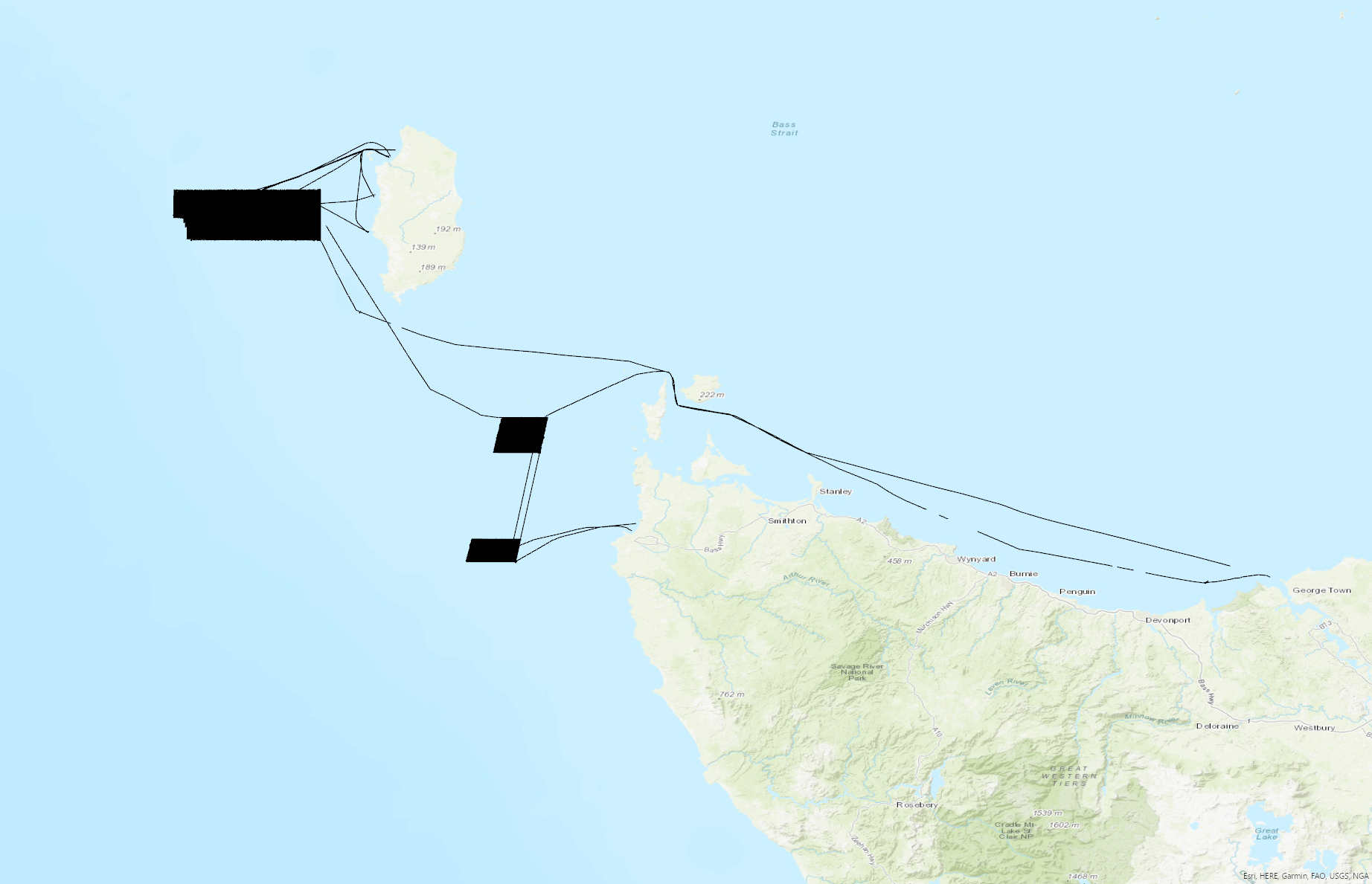
This record describes multibeam echosounder data collected on voyage BF2022_V01 aboard the AMC's vessel the Bluefin. The vessel departed Beauty Point on the 28/02/2022 and returned to Beauty Point on the 21/03/2022. The Kongsberg EM2040c multibeam echosounder was used to acquire seafloor bathymetry, backscatter information and watercolumn backscatter. The surveyed areas include Zeehan Marine Park, west of King Island and the Franklin Marine Park, west of Marrawah (NW Tasmania). A total surveyed area was 1026.2 km² not (including transits) comprising Zeehan Marine Park 726 km² and Franklin Marine Park 300.2 km². The EM2040c provides a 1.3 degree by 1.3 degree angular resolution. The echosounder's nominal frequency is 300 kHz and it operated in dual swath mode. Data are stored in *.all raw format for bathymetry and backscatter and *.wcd format for watercolumn backscatter at CSIRO. Raw data files include: - 751 *.all files totalling 237GB - 728 *.wcd files totalling 1.55TB Sound velocity profiles were applied to this data during data acquisition. Bathymetry data contained in *.all format are corrected for motion and position. Processed data was corrected to MSL utilising the EGM2008 geoid model. Processed data had outliers removed. Processed line data are available in *.gsf format, and processed bathymetry and backscatter grids in geotiff format. Additional information regarding this dataset, including information on processing streams, is contained in the GSM data acquisition and processing report. Additional data products may be available on request.
-
Collection of deep sea fish earbones (Otoliths) - Blue Grenadier, 180 pairs, collected in 2003, from Western Tasmanian Waters. - Orange Roughy, 21 pairs, collected 2000, from Albany, Western Australia. - Orange Roughy, 1040 pairs, collected 2002, from the South Tasman Rise. These specimens were collected for future CMAR research analyses as required.